
Related questions
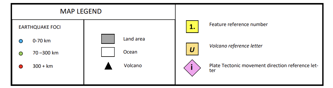
PART II Based on the pattern of depth of earthquakes:
a) Identify where subduction is taking place on the map at the steepest angle from the horizontal (label this location with an arrow and with the letter “A”).
b) Identify where subduction is taking place on the map at the lowest angle from the horizontal (label this location with an arrow and with the letter “B”).
c) Can you recognize any location where there may be a “seismic gap”? If you think that there is one label this location with an arrow and with the letter “C”.
Note: Be very precise in the placement of your ‘letters’ – The letter size should be APPROXIMATELY THE SIZE shown above (ie. ~18 pt font)


Trending nowThis is a popular solution!

Step by stepSolved in 2 steps with 1 images

Hello, why did you place A & B on the map in those locations.
Hello, why did you place A & B on the map in those locations.

- Applications and Investigations in Earth Science ...Earth ScienceISBN:9780134746241Author:Edward J. Tarbuck, Frederick K. Lutgens, Dennis G. TasaPublisher:PEARSON
 Exercises for Weather & Climate (9th Edition)Earth ScienceISBN:9780134041360Author:Greg CarbonePublisher:PEARSON
 Environmental ScienceEarth ScienceISBN:9781260153125Author:William P Cunningham Prof., Mary Ann Cunningham ProfessorPublisher:McGraw-Hill Education
  Earth Science (15th Edition)Earth ScienceISBN:9780134543536Author:Edward J. Tarbuck, Frederick K. Lutgens, Dennis G. TasaPublisher:PEARSON
 Environmental Science (MindTap Course List)Earth ScienceISBN:9781337569613Author:G. Tyler Miller, Scott SpoolmanPublisher:Cengage Learning
 Physical GeologyEarth ScienceISBN:9781259916823Author:Plummer, Charles C., CARLSON, Diane H., Hammersley, LisaPublisher:Mcgraw-hill Education,